This tutorial is going to show how to move a point feature to a new location using a set of Latitude and Longitude coordinates.
This may be helpful for new clients that had imported data that did not geocode to the correct location.
Some Restrictions:
- Must be a point
- Cannot have child features that are drawn, such as an attached building that you can visually see on the map
- Can have child features that are not drawn, such as a permit or soil boring that has not been mapped yet
Find the Coordinates #
Collecting the coordinates can be done in many different ways and is up to you, but Latitude and Longitude can be found inside of FetchEH and will be the method used for this tutorial.
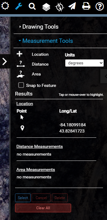
First click the Map Tools icon. (the wrench symbol)
Then click Measurement Tools.
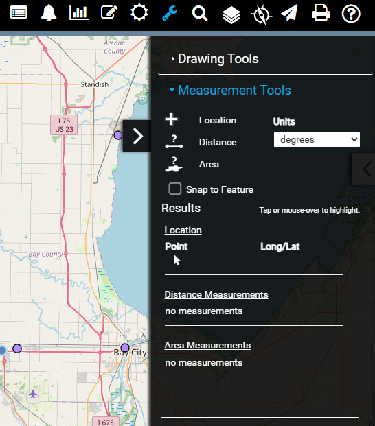
After clicking Location, you can click on the map in the location you want to move to, and a temporary marker will appear.
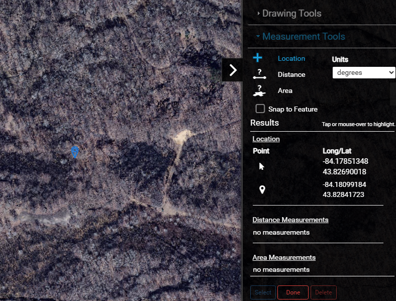
Clicking done will turn this tool off.
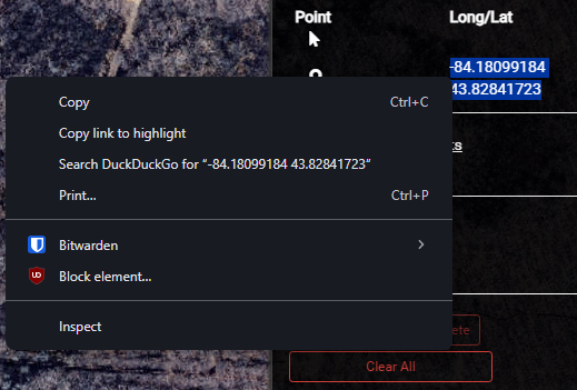
You can then copy the coordinates by selecting then and right clicking and copying.
Using the Move Tool #
Next, click on the feature you want to move then click the Feature Editing Controls (the paper and pencil icon), then Edit Features.
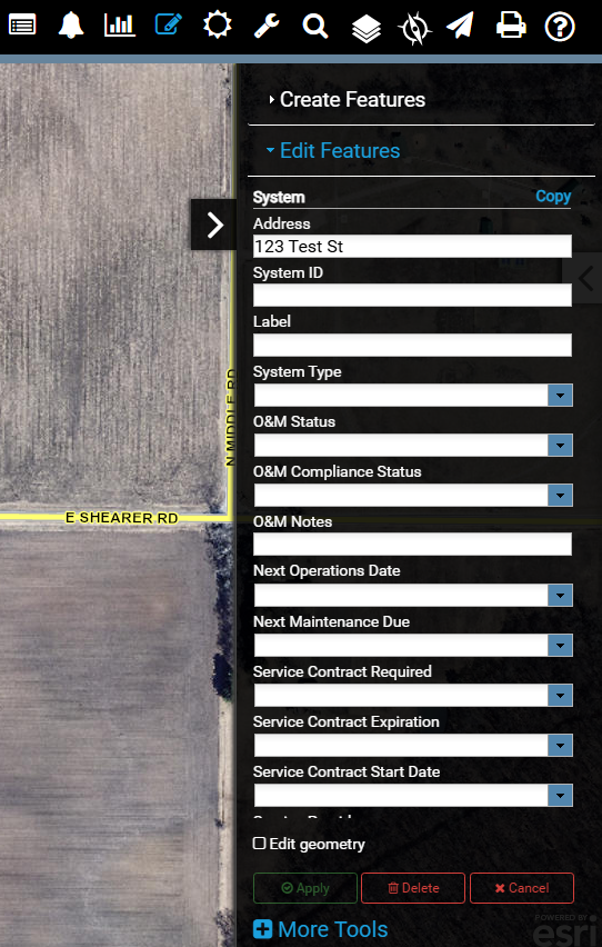
Click Edit geometry.
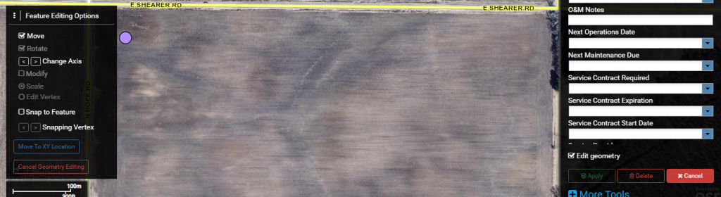
Then click Move to XY Location in the box that appears on the left.
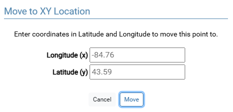
Here you can paste in the values you copied earlier, if this method was used, you can paste directly into the Longitude box and it will paste both values automatically.
Other smart options for pasting into the Longitude box are:
- -84.76 43.59
- -84.76,43.59
- -84.76
43.59
Otherwise you can paste a single value into the Longitude and Latitude boxes individually.
Clicking Move will save any pending changes that were made and move the feature.
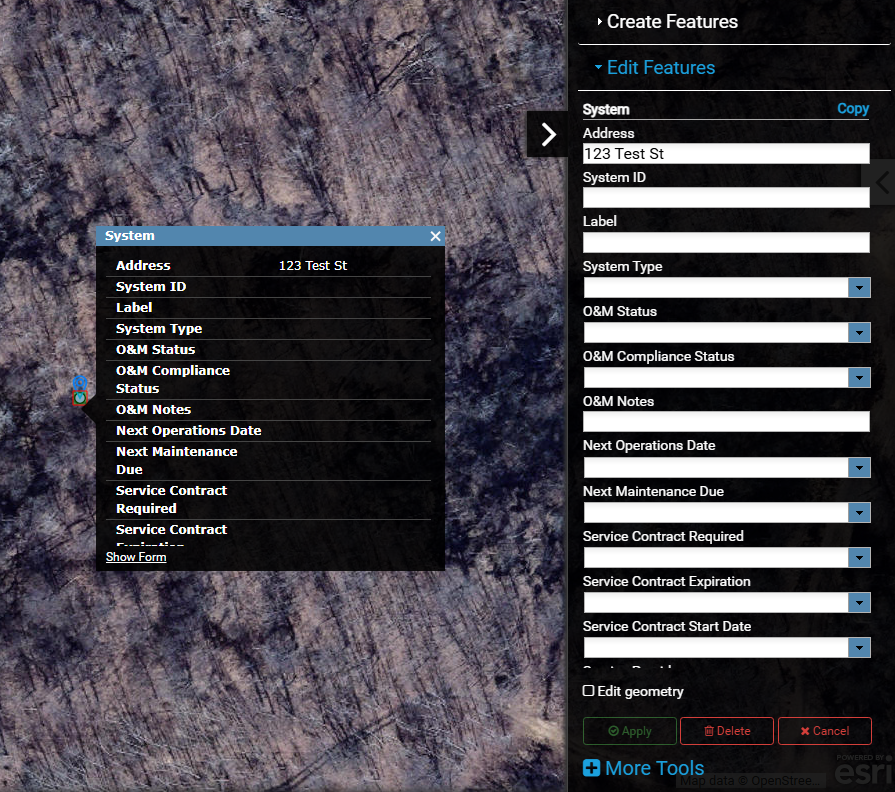
Cleaning Up #
Click Map Tools again and click Clear All.
The feature has been moved and the last step is clearing the temporary point that was created earlier.